INDIA - Participatory mapping to strengthen the Dalit people´s land rights
Type of project: mapping + training
Status: active
Background
The south of India currently experiences numerous incidents of large-scale land acquisitions and land grabbing. The Dalit community, whose members mainly live from fishing and small-scale agriculture, have faced various evictions due to agriculture or real estate investments. Lately there have been several court decisions and government regulations in favor of the Dalit people; however, these have resulted in heavy bureaucratic burdens for the communities. The Tamil Nadu Land Rights Federation (TNLRF) thus plans on further actions to protect the rights of Dalits upfront. To support TNLRF´s effort, Space2Live provides them with knowledge and training on GPS tracking and mapping. The goal is to empower the marginalized members of the Dalit community to defend their land titles, to confront threats of eviction and to increase public awareness of the problem.
Approach
Space2Live has been running workshops with TNLRF in affected communities in order to train them in the use of GPS technologies and mapping software. The workshops have been funded by Erbacher Foundation.
Outcomes
TNLRF and Dalits people have developed skills to capture spatial data on their land and to present these data in comprehensive maps. These will also be used to improve their resource management. The next steps will be to create a reliable and transparent data acquisition system and a database of maps of ancestral land rights.

Communities collecting data
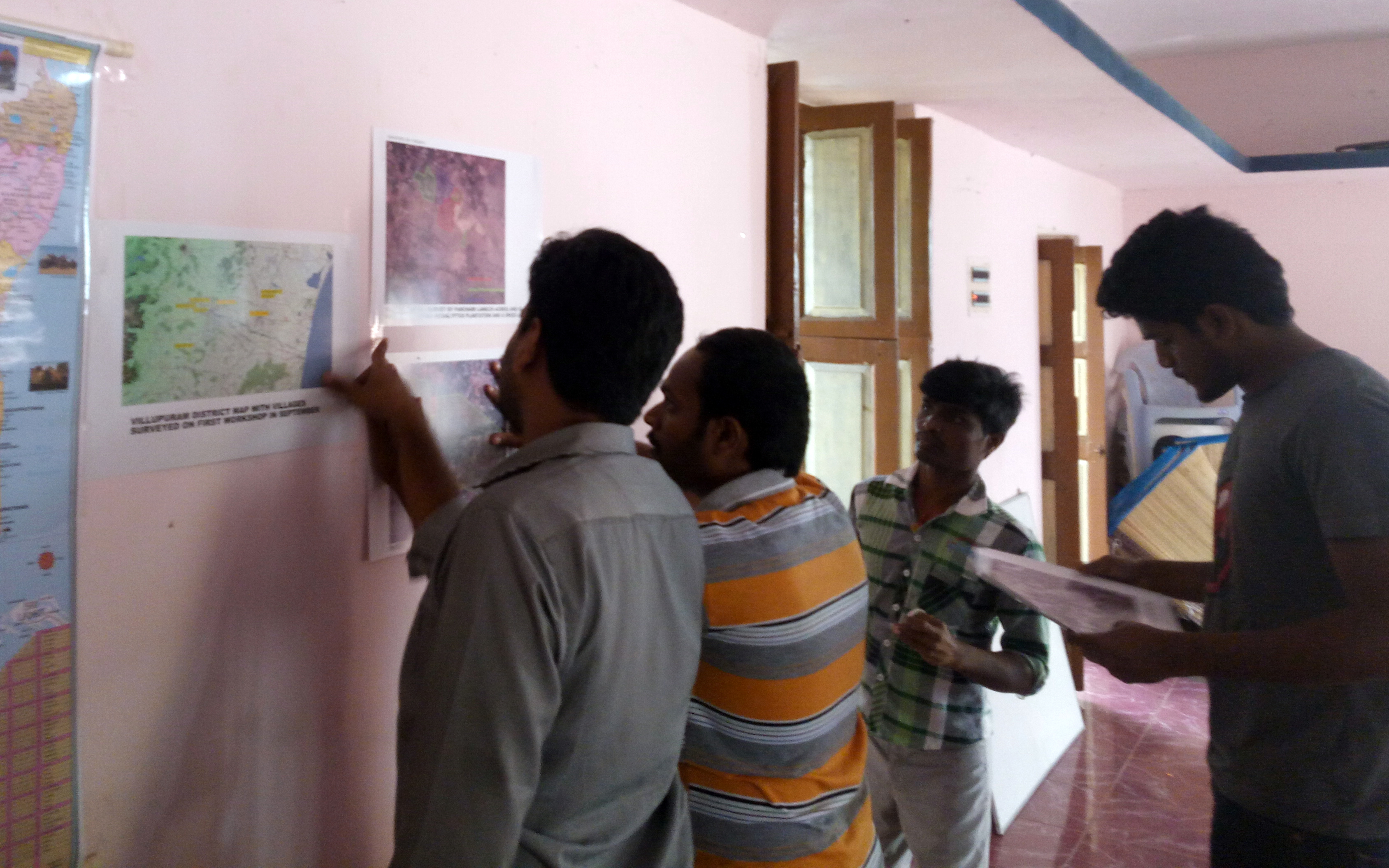
Discussing the data
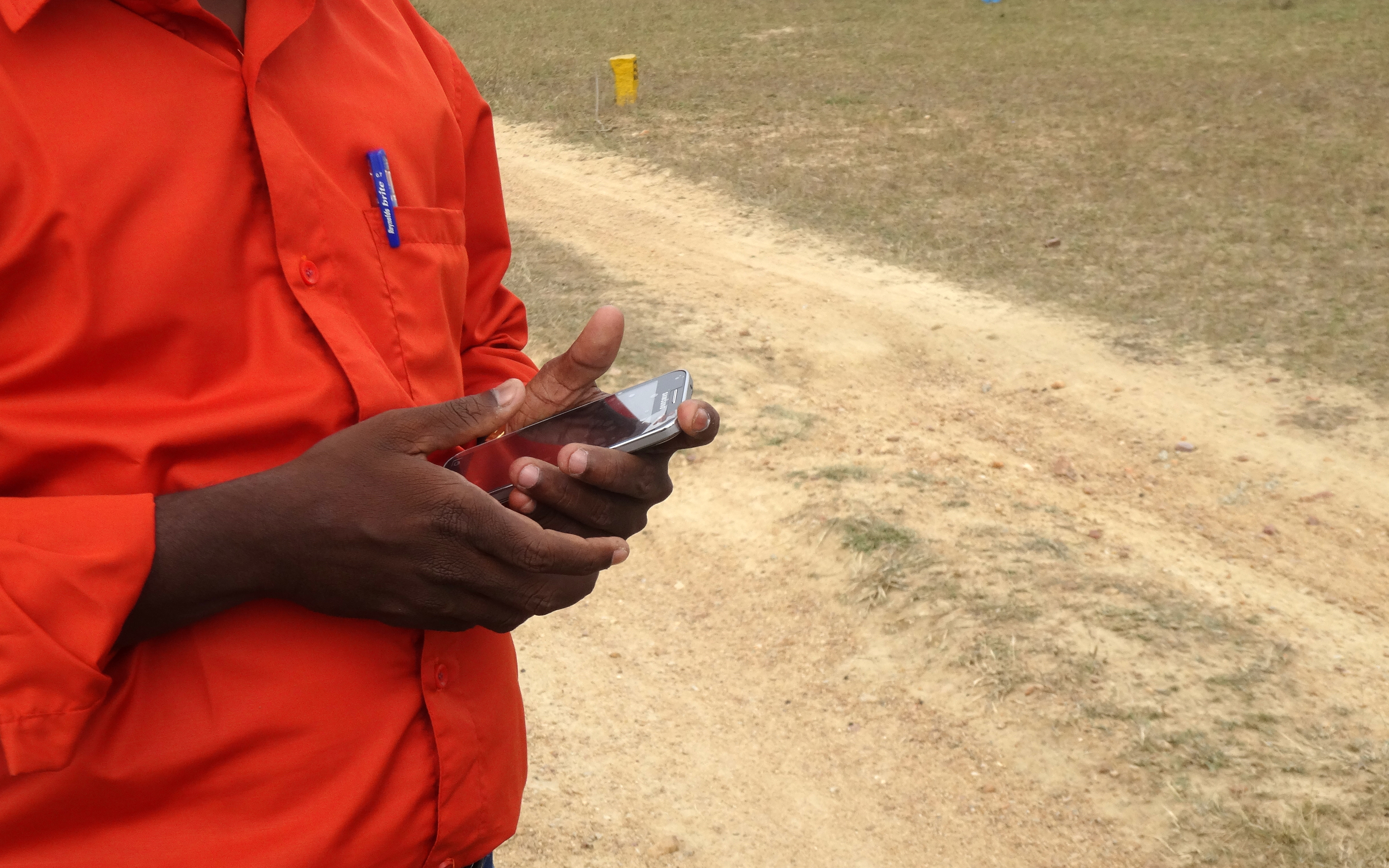
Using Smartphones for Geo-tracking